Historic maps, like old photographs, offer a clear view into the past. These maps help illustrate how Wopsononock Mountain and the Wopsononock Resort and Railroad near Altoona developed over time, adding important context to the history of the mountain.
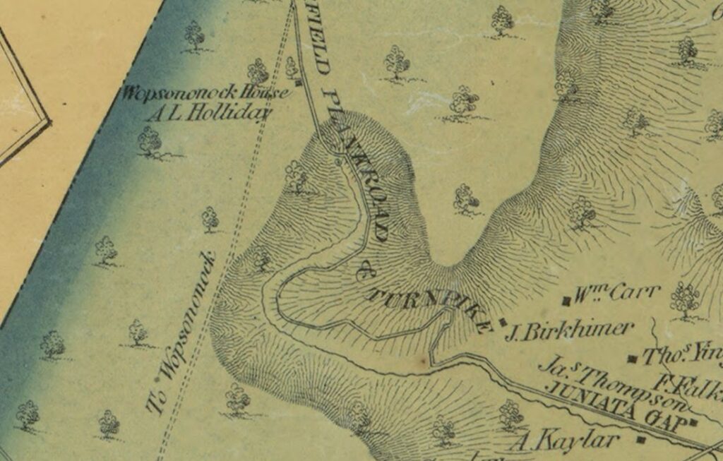
This 1859 map of Blair County shows the “Wopsononock House” owned by A. L. Holliday at the top of the windy Juniata Gap road.
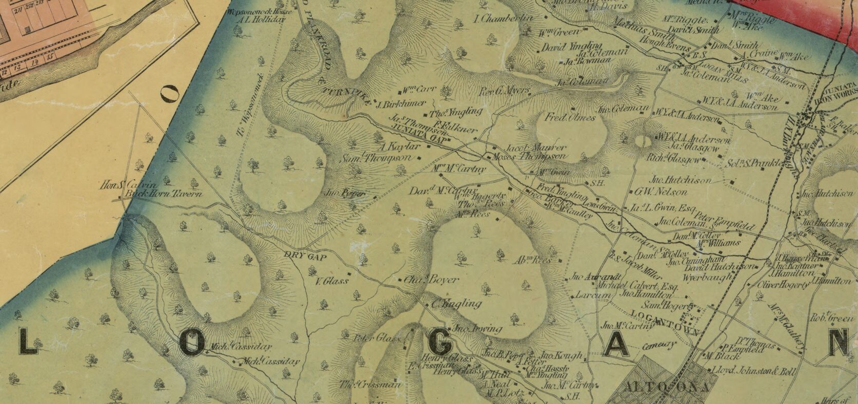
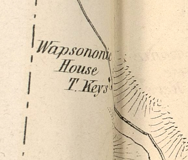
In this 1873 Pomeroy Map, Wopsononock House is owned by T. Keys.
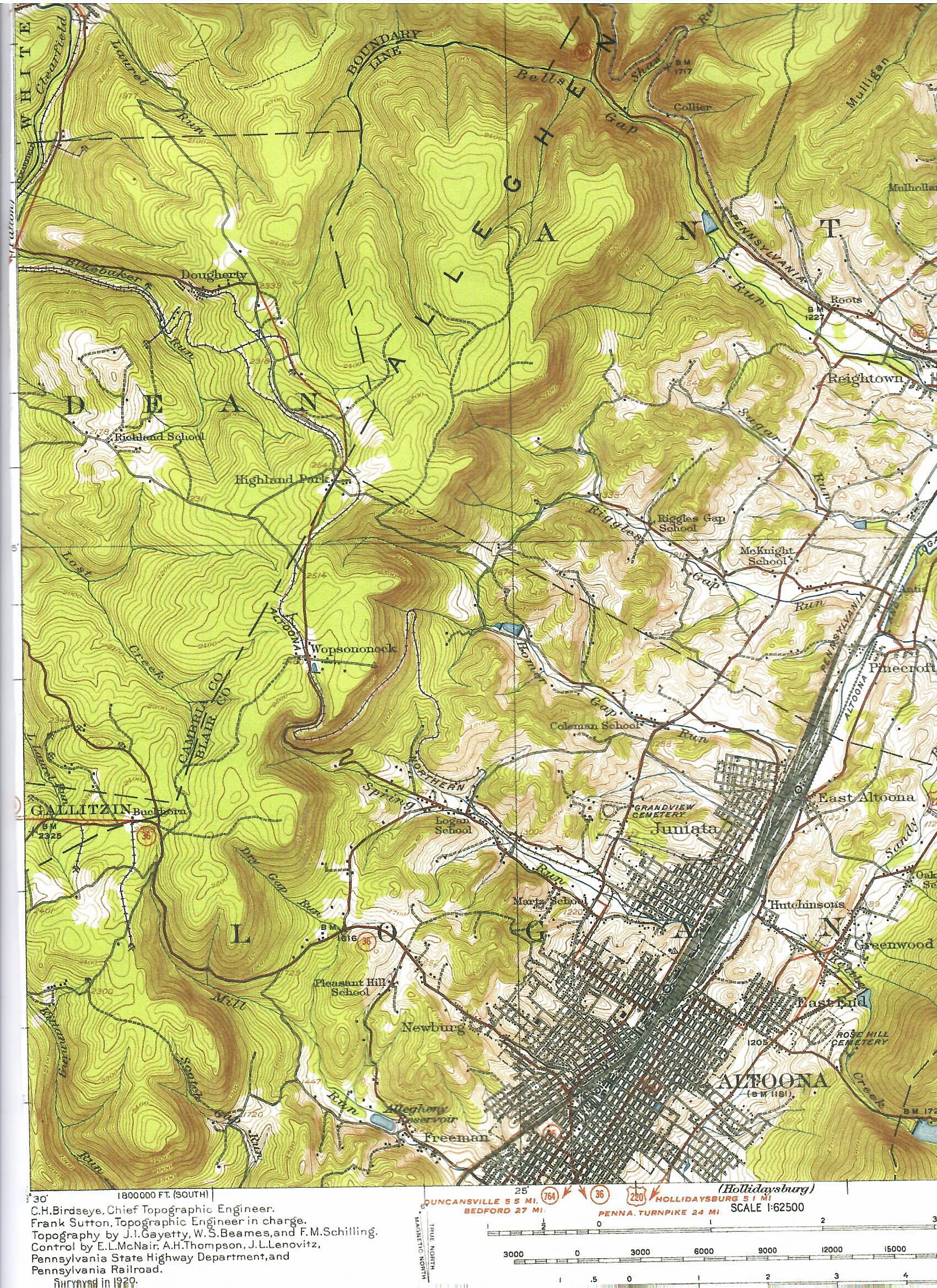
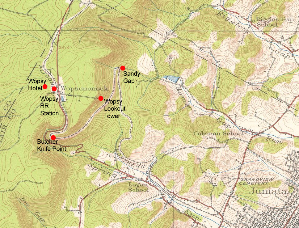
And this 1920 topo map of the area shows the path of the railroad out of Altoona and up the mountain.